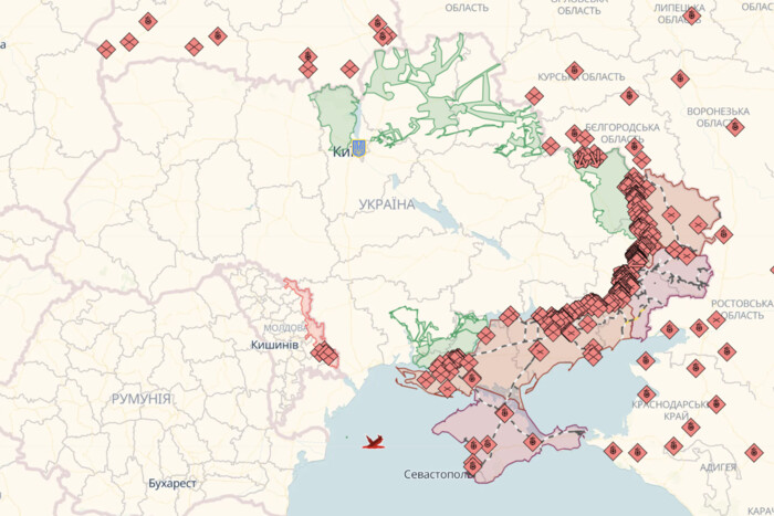
Online map of hostilities in Ukraine as of April 6: situation at the front.

The Supreme Command shared online maps of hostilities
The Ukrainian Armed Forces use the best online maps of hostilities to have a better understanding of the situation at the front, determine the directions of battles, and track the liberation of territories.
Deep State Map
Deep State MAP battle map
Deep State Map helps to track liberated territories and those that require clarification. The main markings on the map are: blue - territories liberated in the last two weeks; green - liberated territories; gray - territories that require clarification; red - territories occupied by Russians; dark red - Crimea and ORDLO; light red - territories occupied by other countries.
The map also shows railways, units, headquarters, airfields, and directions of enemy attacks.
Liveuamap
Liveuamap battle map
The Liveuamap map shows occupied and liberated territories, as well as important military facilities. Markings on the map: red - occupied by Russians; blue - liberated from Russians.
ISW Battle Map
ISW battle map (Institute for the Study of War)
ISW constantly updates its battle map, analyzing the course of the Russian-Ukrainian war. The main markings on the map are: black - occupied Crimea and ORDLO; red - territories occupied during the full-scale war; red dashed - territories captured by occupiers in the last 24 hours; blue dashed - territories liberated by Ukraine in the last 24 hours; light blue dashed - Ukraine's statements on counteroffensive and resistance.
In conclusion, the article emphasizes the importance of following official announcements and avoiding unreliable information, trusting only official sources and supporting the Ukrainian army.
Read also
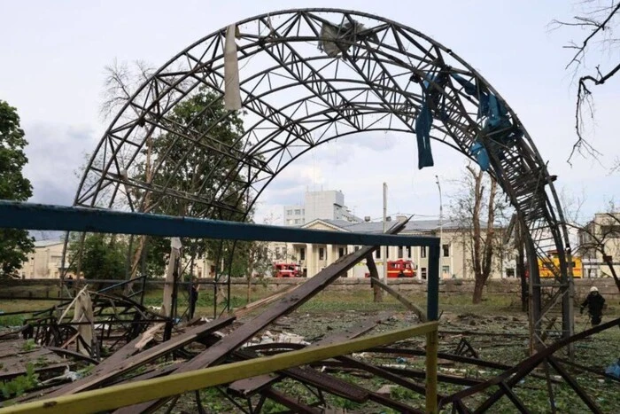
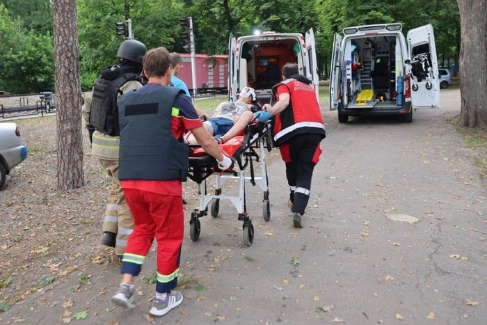
- In Kharkiv, the number of dead has risen, and two injured individuals are in serious condition
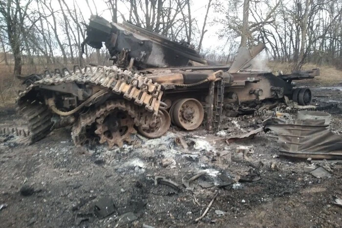
- Defense Forces struck the enemy's locomotive with equipment
- The Captured Ship Commander Surprised by the Reason He Decided to Fight in the Infantry
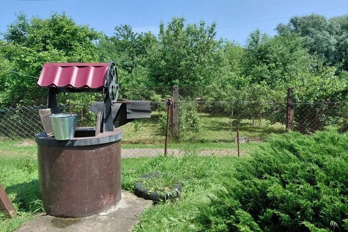
- In Lviv Region, the water temperature in the well has risen to 40°C
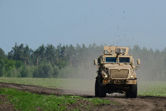
- MP explained what maximum assistance from Trump Ukraine can expect
- In Kharkiv, after the Russian attack – more than 40 injured. The head of the children's railway has died